Photographs of the Bridges
National Road Bridges, Maryland
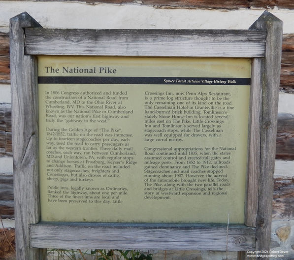
The westward route from Baltimore to Ohio and beyond underwent several changes from the early years of the United States to the mid twentieth century. Prior to 1805, the road extended only from Baltimore to Cumberland, and was called the National Pike, or Baltimore National Pike. Between 1805 and 1838, the National Road was financed by the federal government, and extended to Vandalia, Illinois, in order to encourage trade and settlement west of the Appalachians. In 1838, control of the National Road was returned to the states, but it continued to be a major east-west corridor connecting the interior of the nation to the east coast. The route was designated as US Route 40 in 1926, and then even Route 40 was bypassed by Interstates 68 and 70 after the 1950s.
In Maryland, only two of the original National Road bridges remain: Wilson Bridge crossing Conococheague Creek near Hagerstown, and Casselman Bridge crossing the Casselman River between Cumberland and Frostburg.
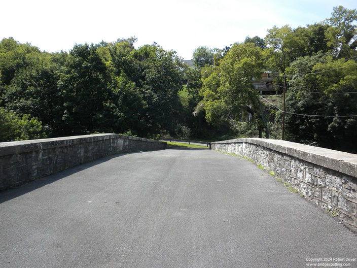
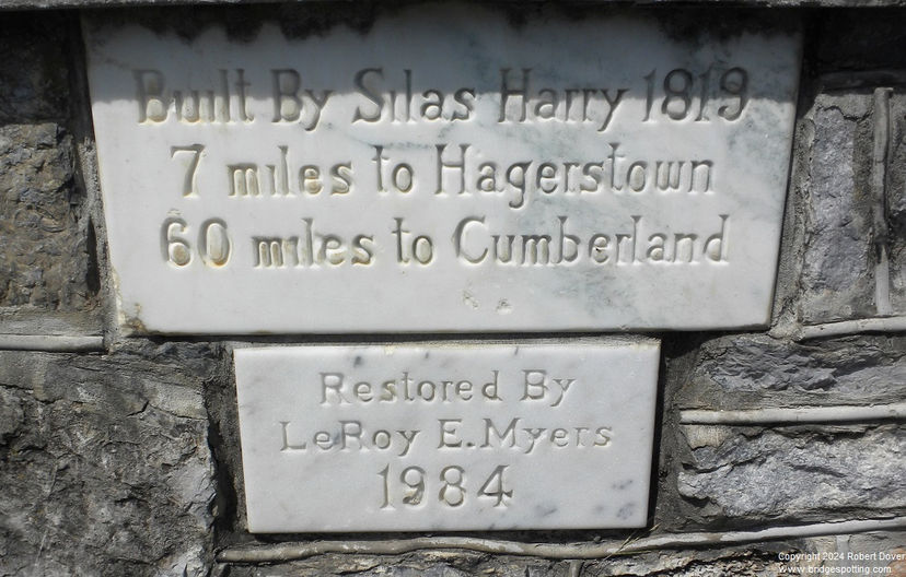
Because it is on the Baltimore-to-Cumberland segment, Wilson’s Bridge was more accurately located on the National Pike and not the official National Road. It was constructed in 1819. It ceased to be used as part of the main highway in 1937 when US Route 40 was realigned onto a new bridge about 200 feet downstream. The original bridge continued to carry local traffic until 1972 when it was damaged by flooding from Hurricane Agnes. The bridge sat damaged for several years, but was eventually restored and became the centerpiece of a small county park with parking spaces, picnic tables, and historical markers. While it is pleasurable to walk over Wilson’s Bridge, it is recommended that you also walk over the Route 40 bridge, as it is a little higher in elevation and provides a good vantage point from which to view the older bridge.
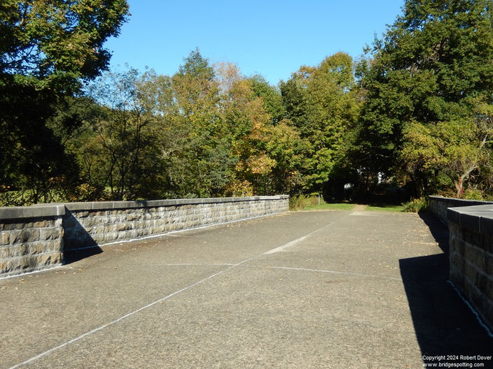
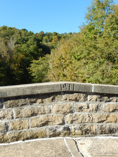
The Casselman Bridge is located about 25 miles west of Cumberland. There is quite a little complex of tourist attractions here, including the German-themed Penn Alps restaurant, the touristy Spruce Forest Artisan Village, and the stone arch bridge over the Casselman River, dating from 1813. The bridge itself is physically located in Casselman River Bridge State Park. There is a small parking lot for the park on the west side of the river, and the first thing you will notice when arriving is the enormous size of the bridge as compared to the small river. The stream is only about 100 feet wide and a few feet deep. The bridge crosses on a large, single stone arch rising more than 20 feet above river level. The height of this arch seems completely unnecessary for the type of boats that could possibly have used this small stream, but historical plaques indicate that the bridge was built at a time when the Casselman River was intended to be included within the future C&O Canal. Ultimately, the canal was never completed further west than Cumberland because the invention of railroads made the canal obsolete even before it was completed. However, the gigantic Casselman River Bridge was left standing, oddly dwarfing its surroundings.
I have written a detailed description of a tour of all of the National Road bridges, including Wilson and Casselman, in Chapter 9 of my book, Bridgespotting: A Guide to Bridges that Connect People, Places, and Times.


